How to Insert & Georeference Google Earth Image in AutoCAD – Plex.Earth Updated
Editor’s note: This post was originally published on the CAD Intentions blog and re-published here with permission.
Hey Everyone,
Brandon here back with another new video, and todays video is a really cool one, if you’ve been following the blog or channel for a while you may have seen my original Autocad Google Earth Image video from a few years ago (woah, 2012 actually!). It’s currently my most viewed video on the channel with over 266,000 views, but even with all those views it’s still one of my most commented and requested topics on the website.
So, about a month ago I had the idea to do an update video showing a newer and better method to working with Google Earth in Autocad, so I reached out to Plex.Earth (an AutoCAD addon software/app) to see if they would be interested in working together on a few videos to showcase their Software and they agreed! Plex.Earth have been really awesome to work with and about a month ago sent me over a link to the beta version of the new Plex.Earth 4 to try out and make some videos with.
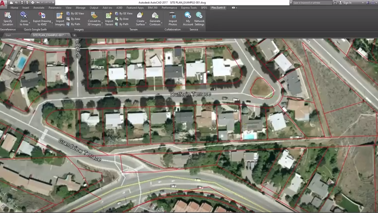
Todays video is the first video of a couple that I’ll be making showing the features of the app and power of add-ons for AutoCAD. In it I go over how to quickly and easily import a georeferenced Google Earth image into your Autocad drawing with just a few clicks.
Check out the video below:
Editor’s note: This post was originally published on the CAD Intentions blog and re-published here with permission.

